The Place
The Purcell Wilderness Conservancy
The Purcell Wilderness Conservancy (PWC) was established as a British Columbia Provincial Park in 1974 after many decades of calls for protection beginning in the early 1900's when Canada's Governor General, Earl Grey, urged the Premier of BC to protect it after hiking the now named Earl Grey Pass Trail.
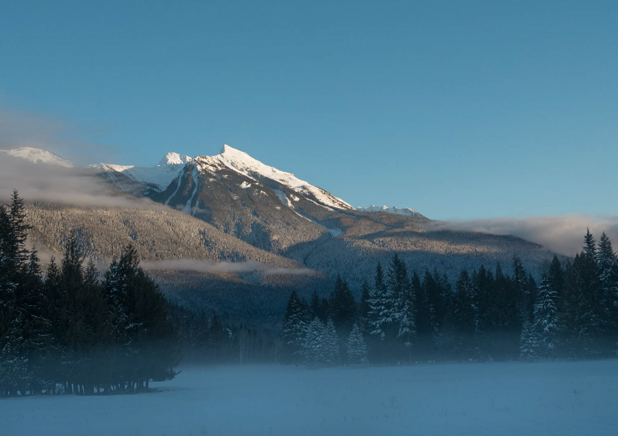
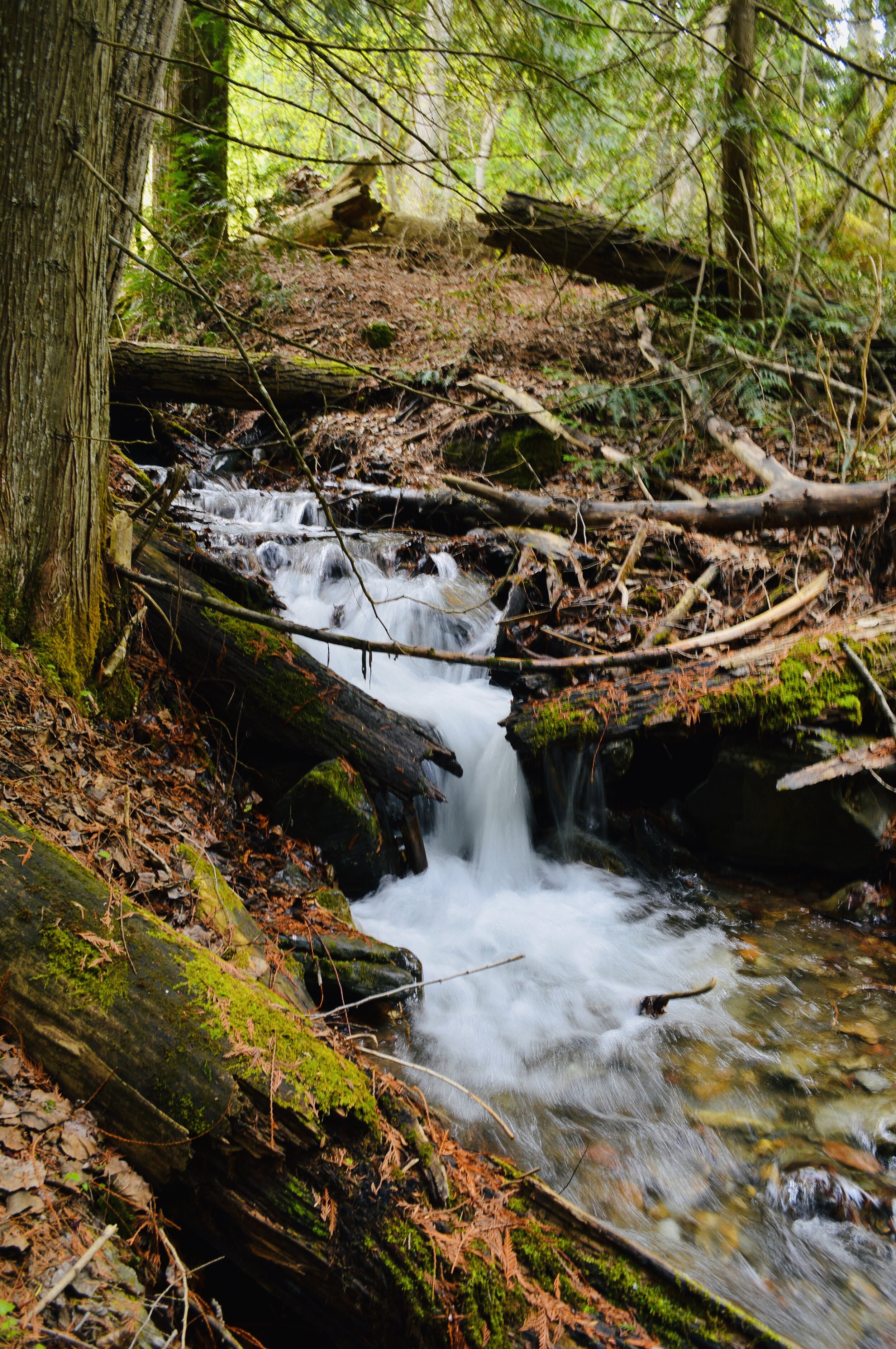
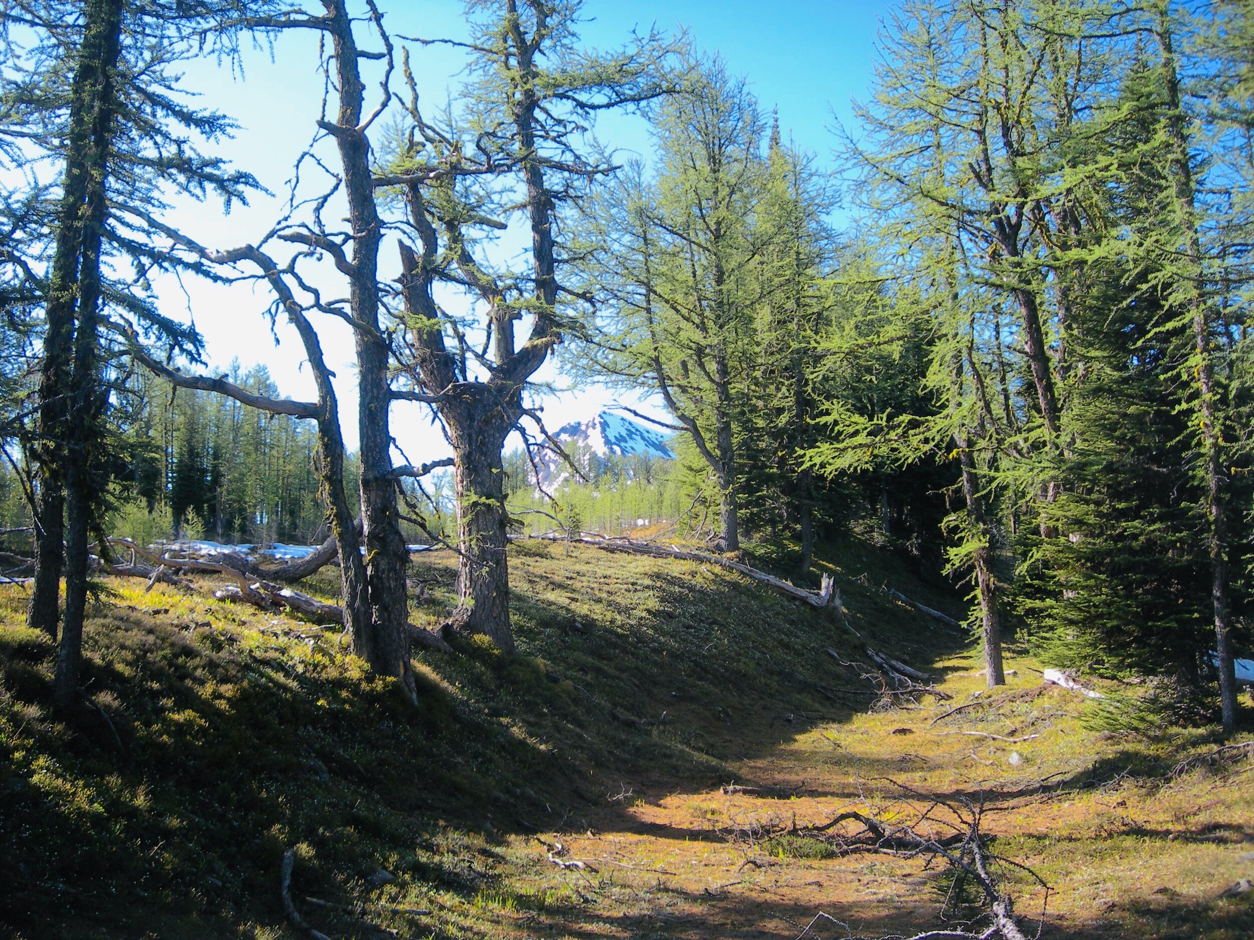
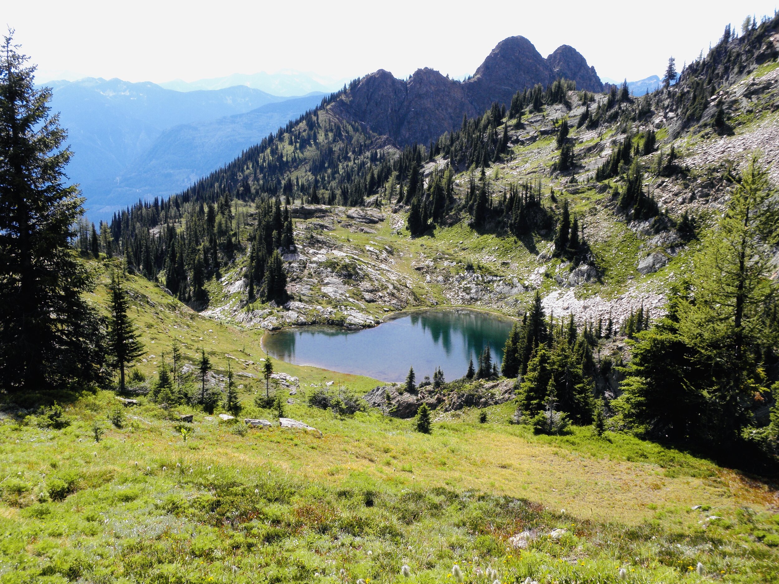
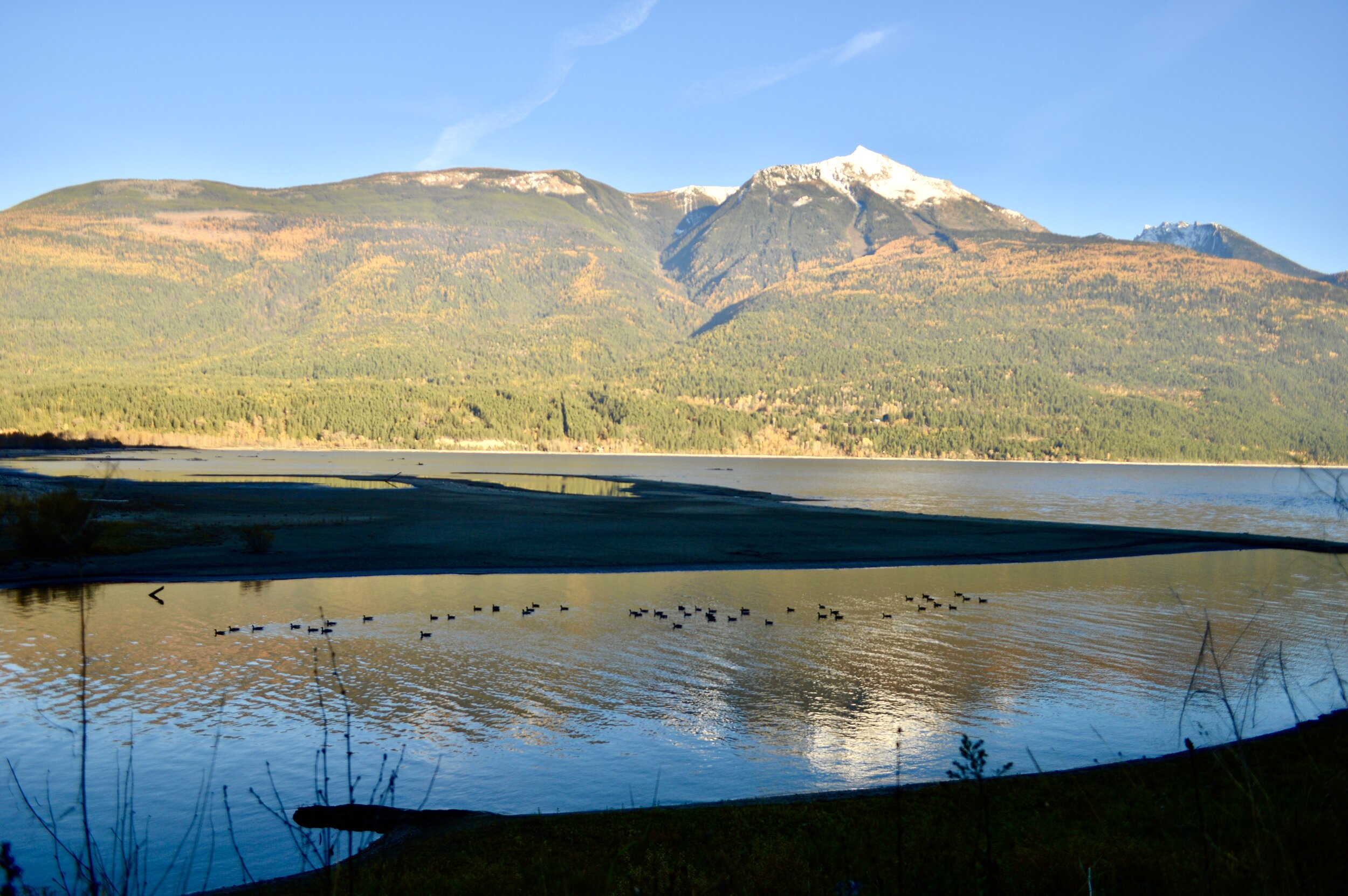
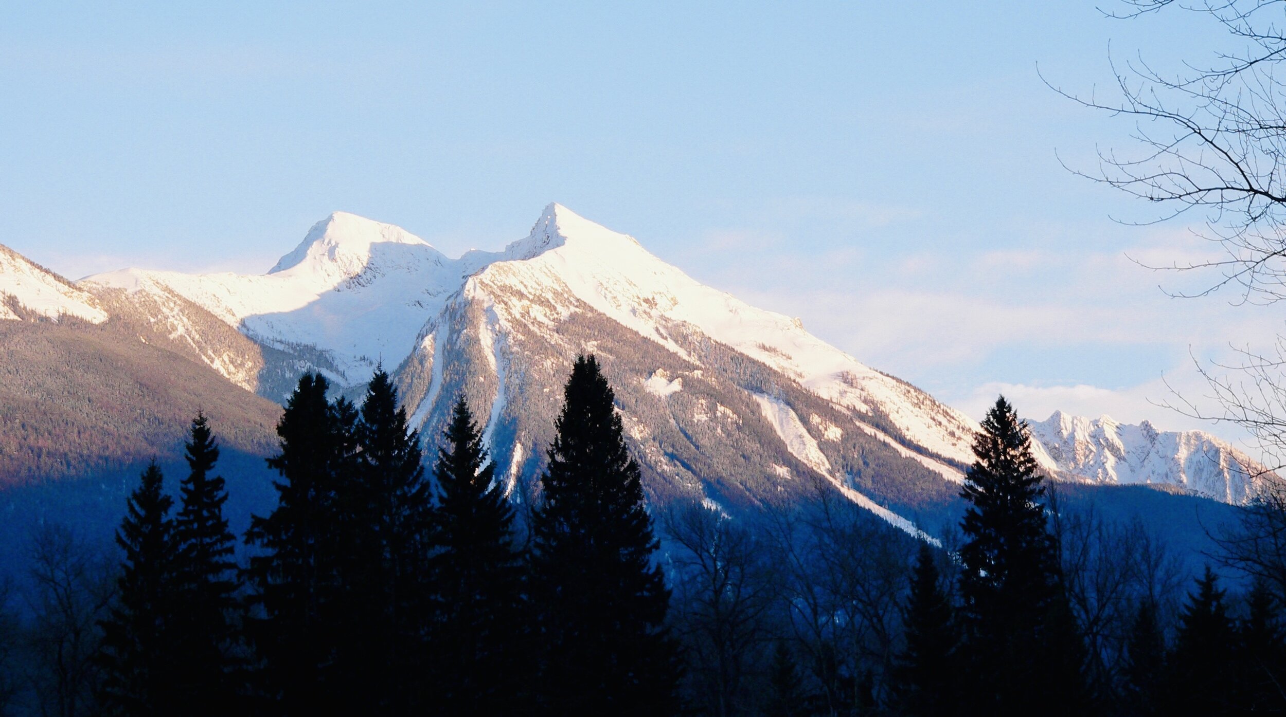
The park contains numerous glaciers and high peaks, alpine meadows, canyons, ridges, and hot springs. It is also important as the headwaters of several large streams and rivers flowing into Kootenay Lake, and Columbia River.
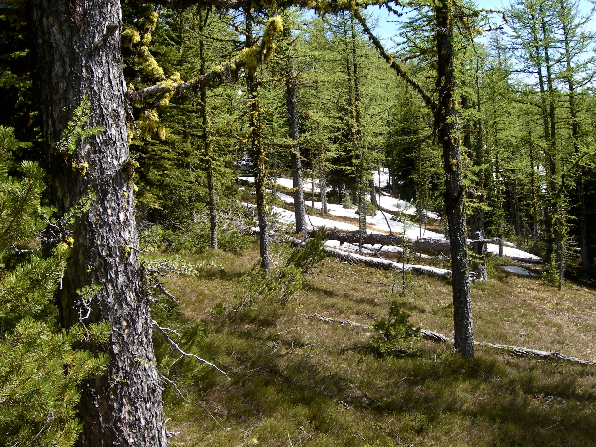
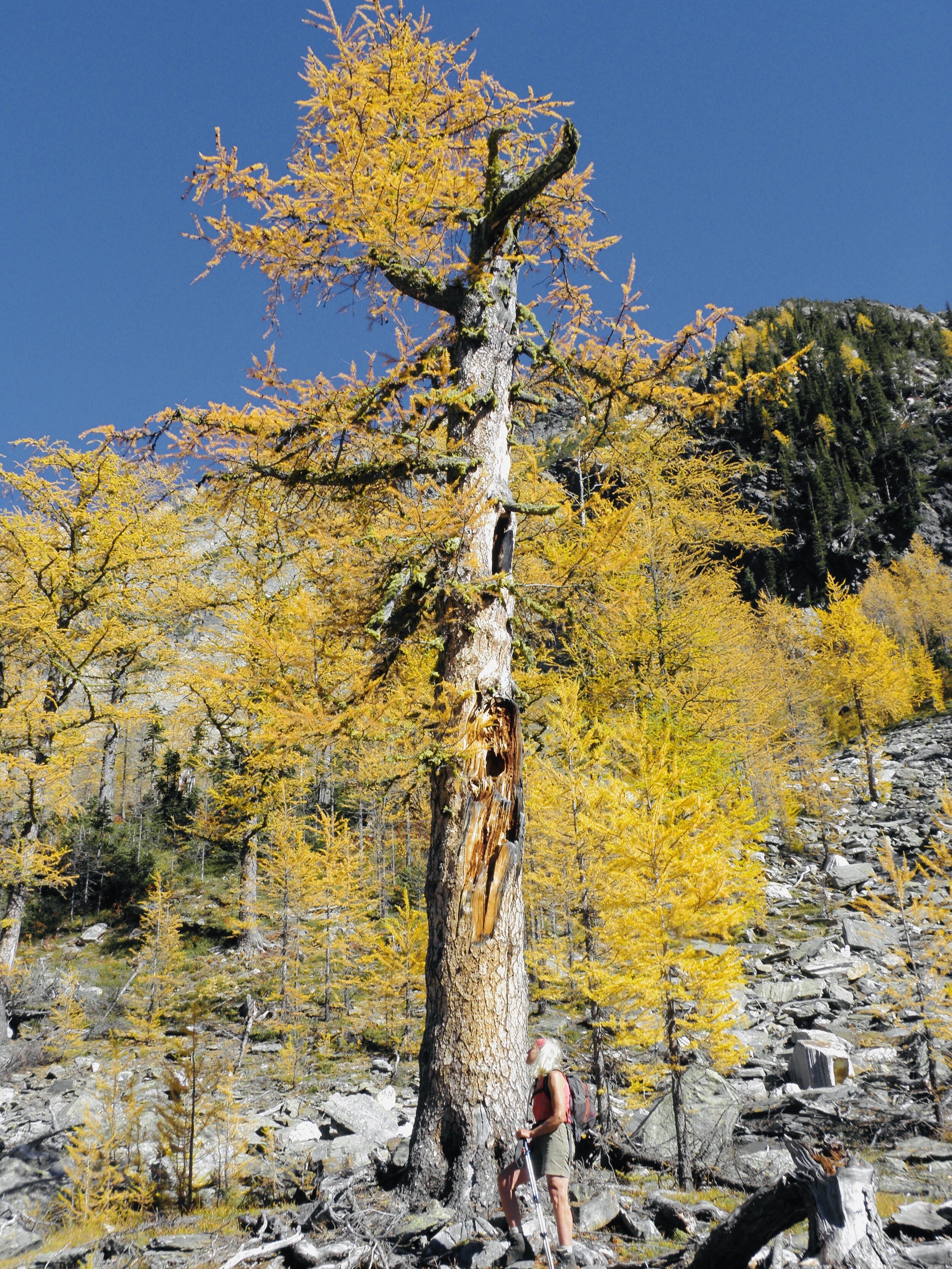
The PWC is considered the largest intact ecosystem still remaining in southeastern BC, and remains almost entirely undisturbed by the roading, logging, and mineral exploration that has impacted much of the Kootenay Rockies Region. The Park contains five of British Columbia's Biogeoclimatic Zones, from Western Red Cedar and Western Hemlock forests in the wetter western portion, to Ponderosa Pine and Douglas Fir in the drier eastern valleys, as well as Engelmann Spruce and Subalpine Fir, leading all the way up to Alpine at the highest altitudes able to support life.
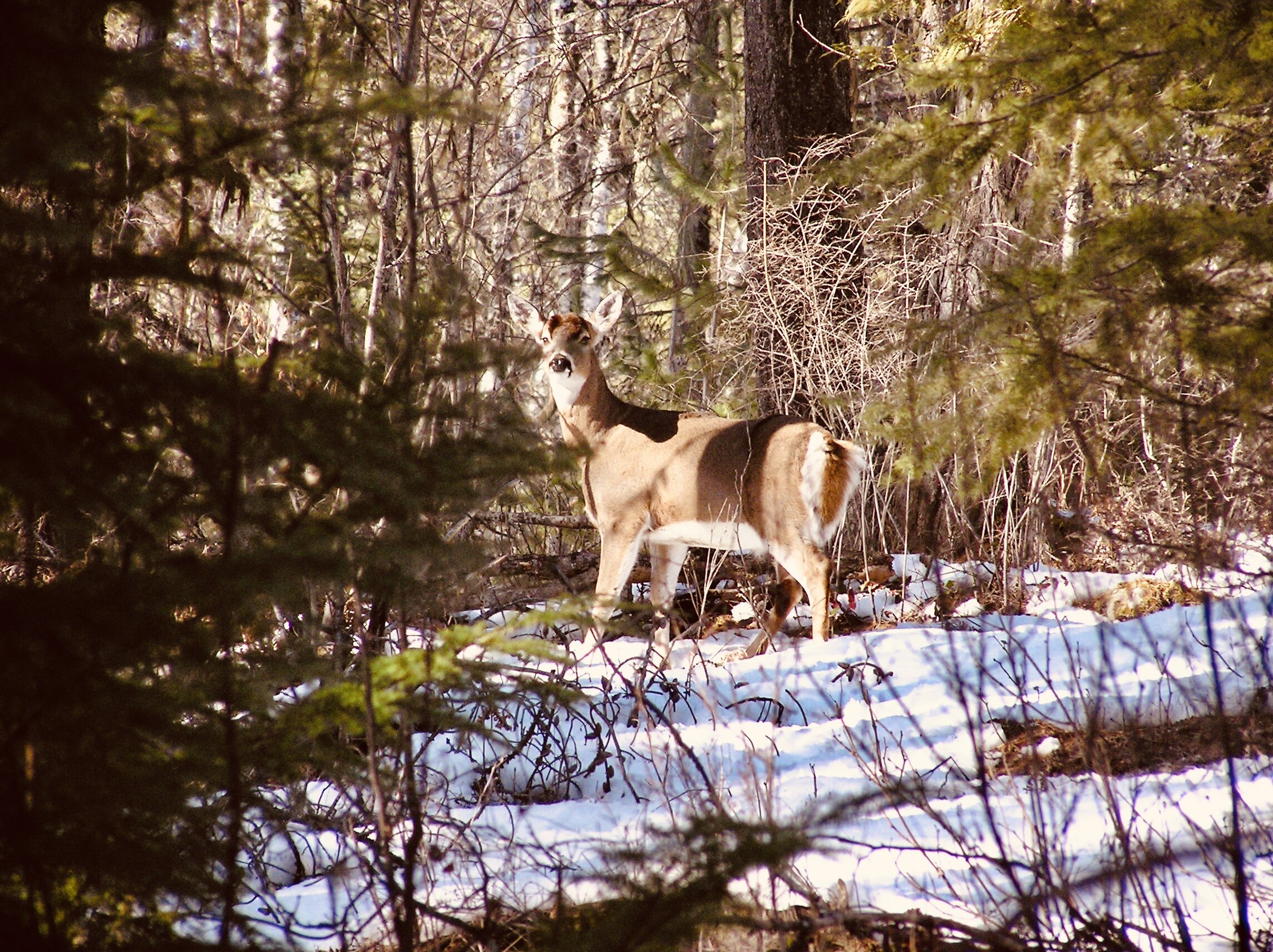
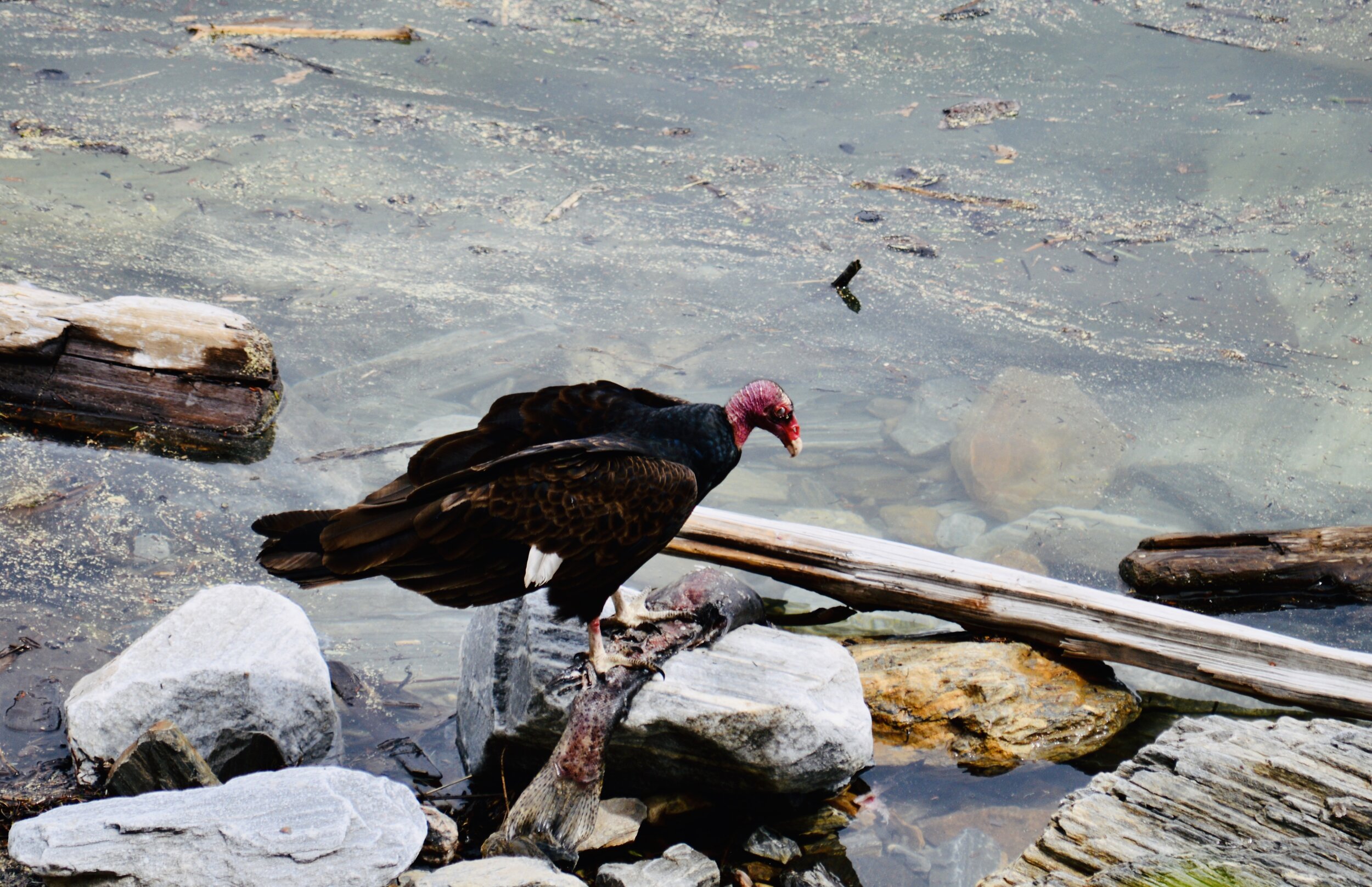
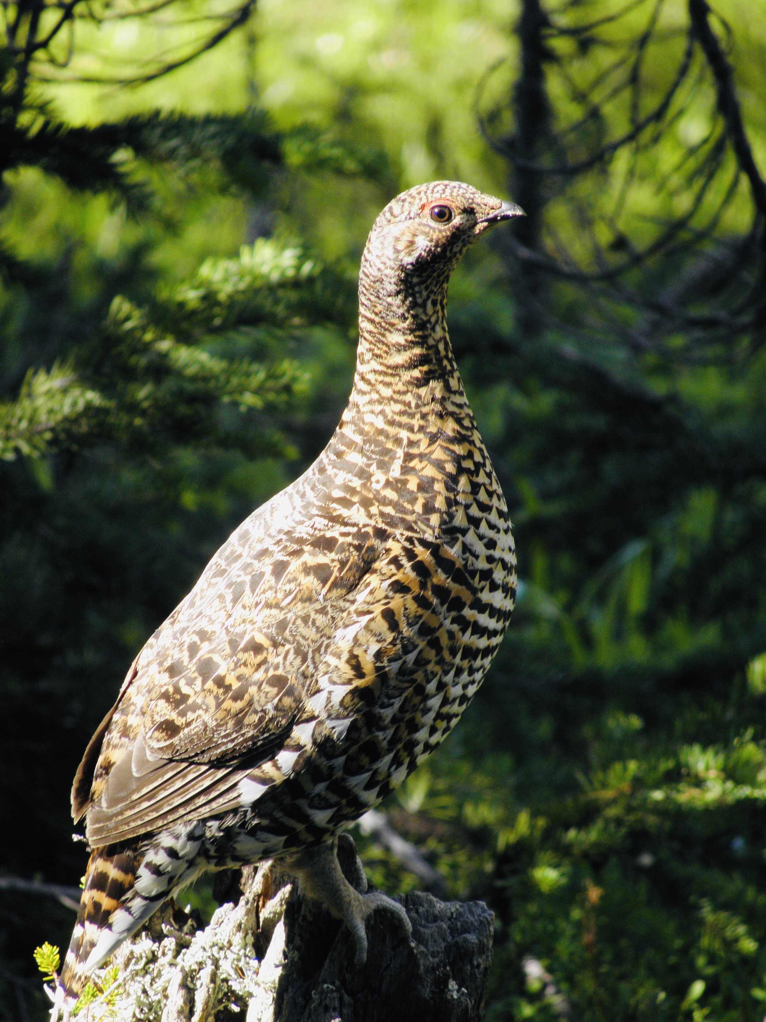
Because of the biodiversity of connected climatic zones the PWC also contains a large diversity of wildlife. The grassy meadows provide excellent habitat for Elk and Moose, while other habitats accommodate many Deer, Black and Grizzly Bear, Mountain Caribou, Mountain Goats, and Cutthroat Trout. Over 68 species of birds have been identified in the region.
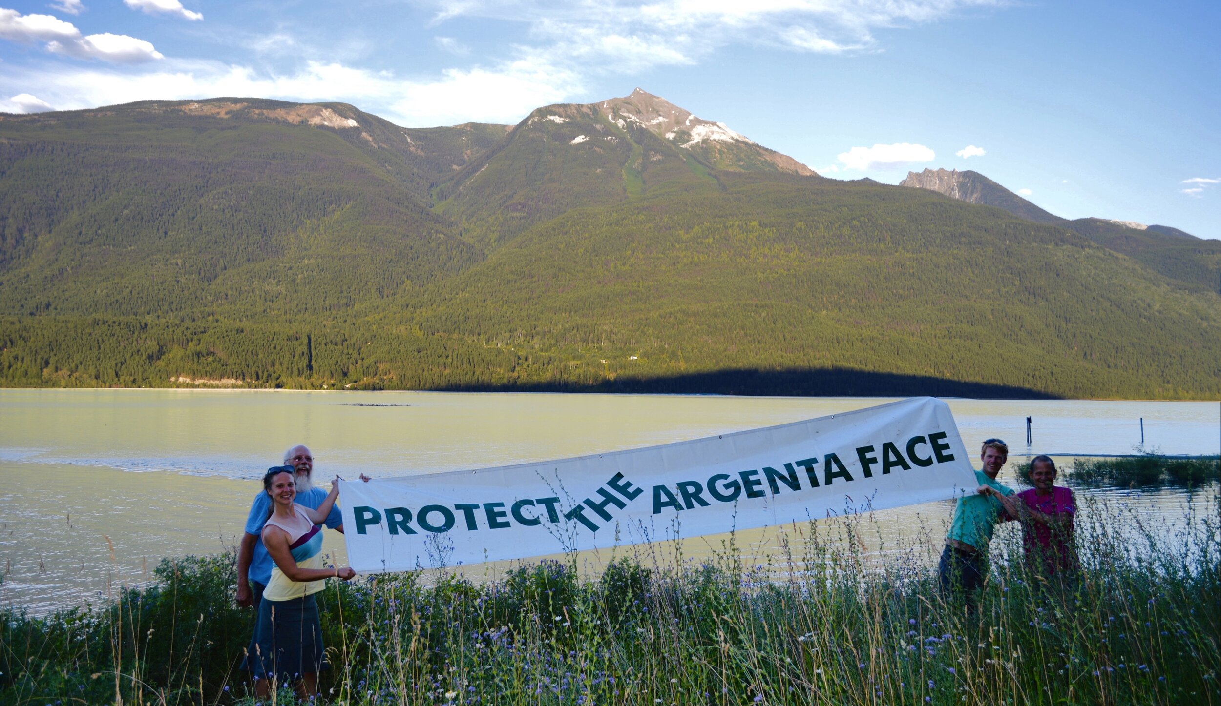
The current threat to the area and its biodiversity is development on adjacent lands. These include heli-skiing and heli-hiking, logging, and other industrial development. The PWC touches the eastern shore of Kootenay Lake only on a small piece of shore south of Fry Creek, otherwise the wildlife is entirely cut off from the lake leaving this area open to logging and other unrestricted development. There has been much support for inclusion of this important ecosystem into the park, however, previous governments have been reluctant to consider this due to lobbying by developers and industry.
The park offers many eco-tourism opportunities like hiking the historical Earl Grey Pass Trail and the spectacular Fry Creek Canyon Trail, as well as many other remote trails. Horse access is allowed on the eastern side of the park, while motorized access is not allowed anywhere in the park.
The Missing Piece
The Argenta-Johnson’s Landing Face
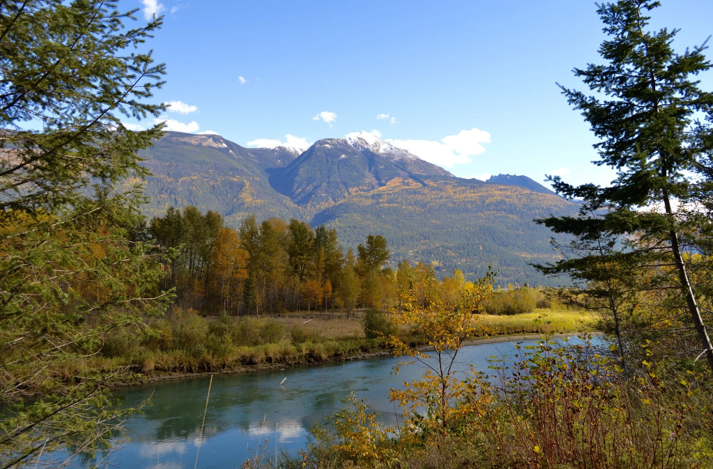
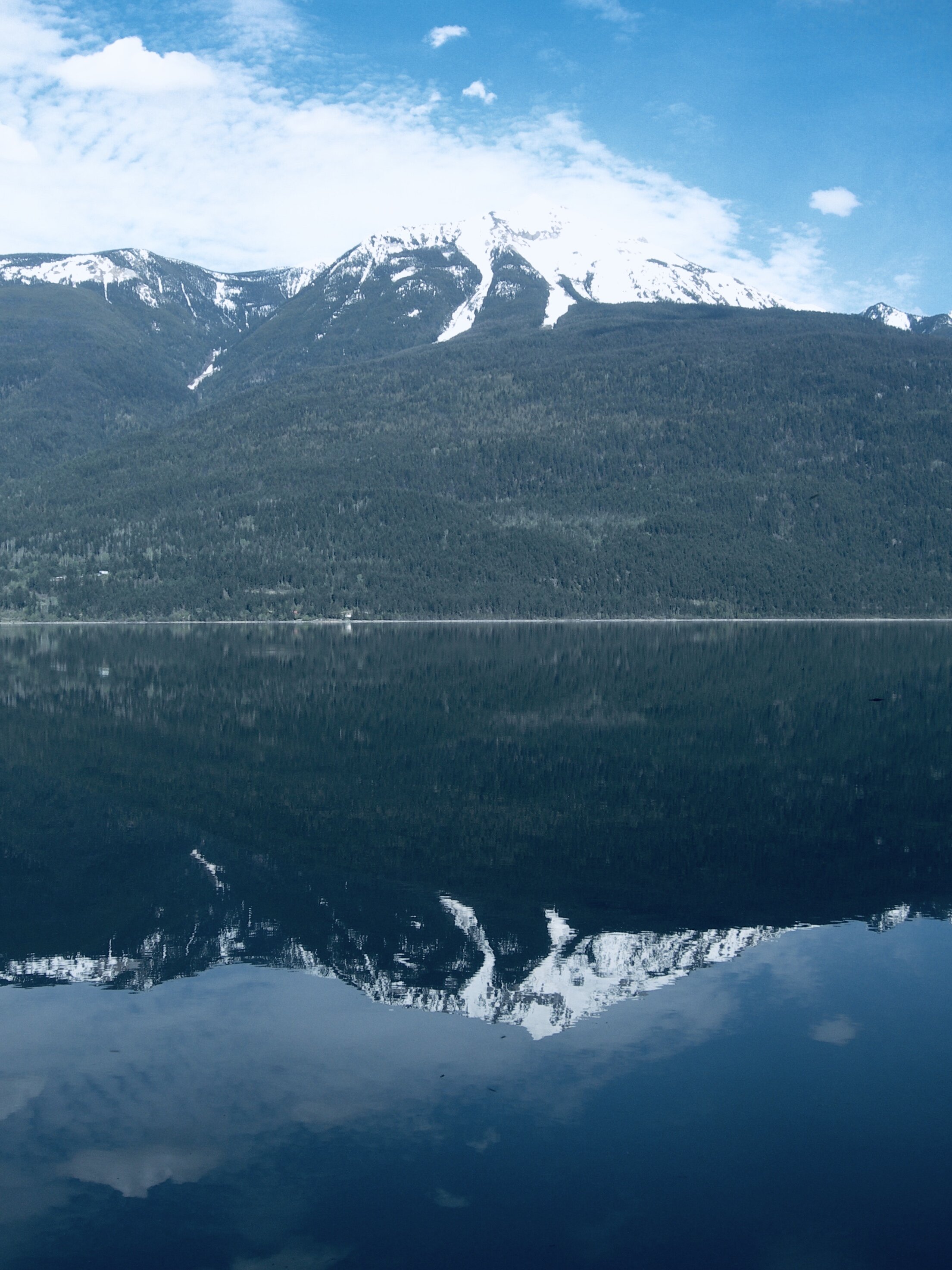
At the north end of Kootenay Lake, lies a unique, virtually intact wilderness mountainside, that reaches from lakeshore to mountain peaks. It is bordered on three sides by the Purcell Wilderness Conservancy Provincial Park (PWCPP).
Mt. Willet (2740m), the highest mountain on Kootenay Lake presides over this west facing slope, from Hamill Creek, (Argenta) in the north to Fry Creek, (Johnsons Landing) in the south.
In the forming of the PWC in 1974, and the subsequent boundary revision in 1995, this slope, known locally as “The Argenta-Johnsons Landing Face”, was not included.